“To implement a common reference system, S-104 and S-111 in the Baltic Sea”
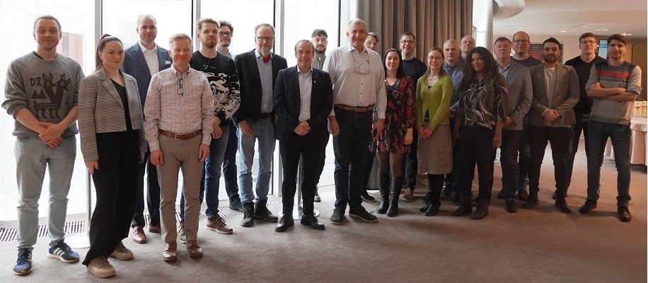
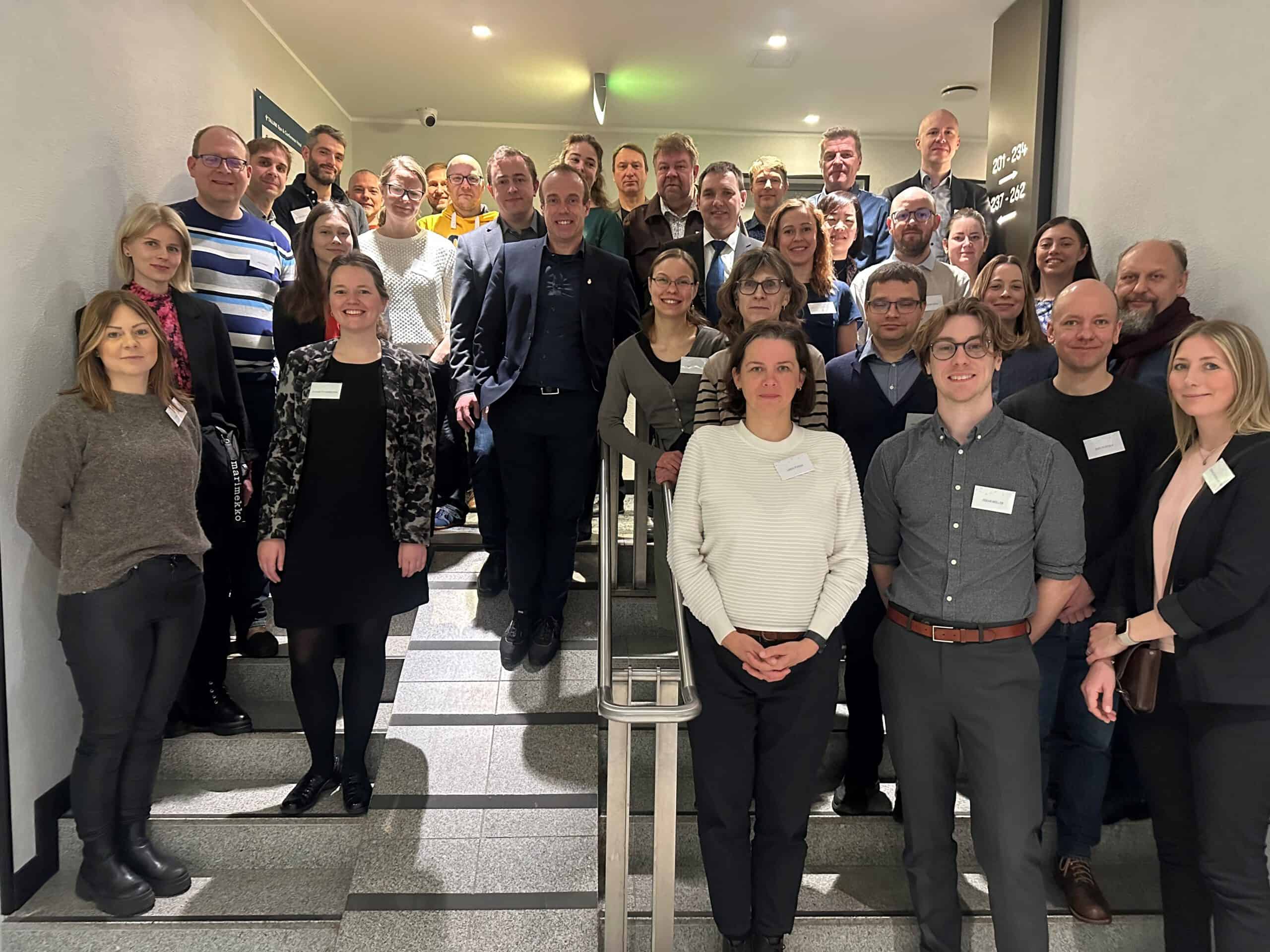
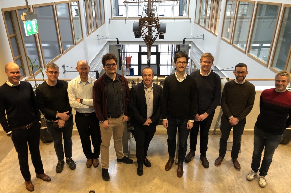
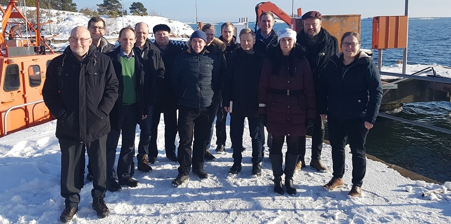
Photo: Chart Datum, Water level and Currents Working Group 2nd meeting, 25-26 March 2025, Tallinn, Estonia
The Working Group should
Report to the BSHC Conferences.
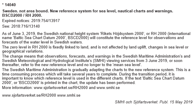
- To continue implementation of the Baltic Sea Chart Datum 2000 (EVRS with land-uplift epoch 2000).
- To prepare the road map for transition, including e.g.:
- to establish a network of relevant bodies involved into the transition and efficiently communicate and give guidance within this network
- to invite relevant bodies to inform the users
- to review of progress of national plans and actions
- to propose harmonization actions.
- To cooperate with relevant bodies on water level related issues e.g.:
- to promote studies on the validation, status and distribution of water level information, and to promote studies on interpolation and prediction of water levels
- to promote studies on displaying schemes for joint Baltic Sea water level information
- to promote studies on recommendations to IHO bodies how the sea level and its variations should be shown on nautical paper and ENC charts and publications, and conveying water level information to mariners [ref. IHO Technical Resolutions].
- To support development of a common harmonized height reference, including further development of a common geoid model for the whole Baltic Sea area:
- to promote geoid computations and gravity measurements in the Baltic sea, as is needed to realize the Baltic Sea Chart Datum 2000
- to coordinate the finalization of the BSCD2000 height reference grid
- to establish a continuity management (future updates) of the BSCD2000 height reference grid
- to distribute BSCD2000 data products
- to support geoid and oceanographic studies relevant to these purposes.
- To cooperate with relevant international bodies, for example organizations responsible for delivering water level and currents information (e.g. BOOS, NOOS) and geodetic infrastructure (e.g. EUREF and NKG).
- To liaise with relevant IHO bodies and study relevant IHO resolutions and specifications.
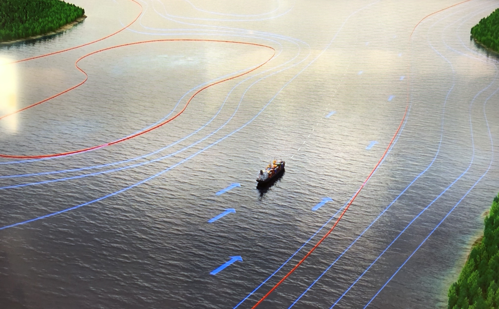
- To coordinate the implementation of the IHO S-100 products S-104 Water Level Information and S-111 Surface Currents in the Baltic Sea:
- to invite meteorological and oceanographic institutes to the working group to strengthen the implementation.
- Terms of Reference / amended version | Work Programme | List of Actions
- Implementation status of BSCD2000, S-104 and S-111 | Road Map
- BSHC Statues 2021
Members
Activities
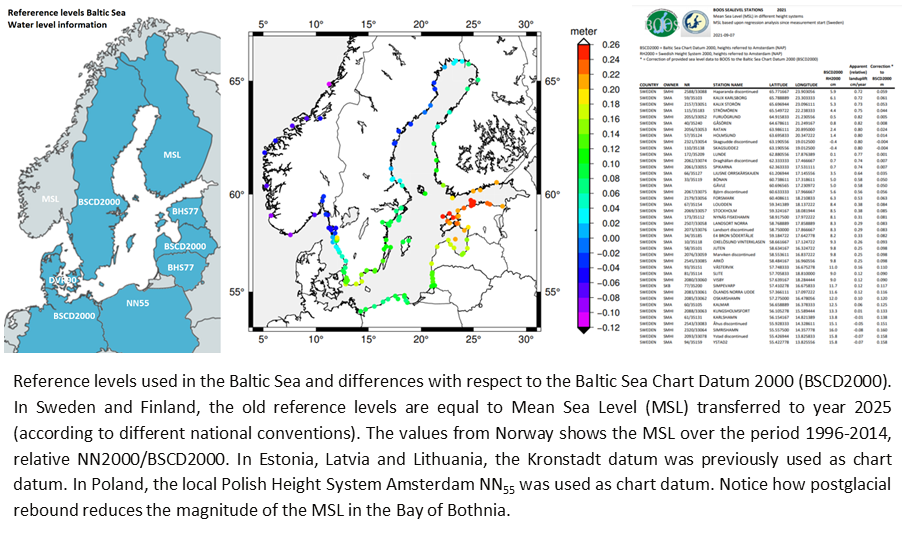
Information about Baltic Sea Chart Datum 2000
- IHO Baltic Sea Chart Datum 2000 (BSCD2000)
- IHO GI Registry Vertical Datum | Baltic Sea Chart Datum 2000 (BSCD2000)
- International Hydrographic Review Article – The Baltic Sea Chart Datum 2000 (IHR, 2020, Publication P-1, pp. 63-83)
- International Hydrographic Review Note – Release note for the BSCD2000 height transformation grid (IHR, 2023, vol. 29, no. 2, pp. 194-199)
- CDWCWG Specification of the Baltic Sea Chart Datum 2000 (BSCD2000) | Brief description
- CDWCWG Baltic Sea Chart Datum 2000 (BSCD2000)
National information
- BSH Info | Notices to Mariners
- EMA Info | Info Sheet | Notices to Mariners 2022-12-01
- DGU Info
- HOPN Info | BSCD2000
- Traficom Info | Video
- SMA Info | Info Sheet | Educational material | Info to pilots | Notices to Mariners 2019-05-19
- LM Info
Information about IHO
- IHO Miscellaneous Publications | Portal | Publications | Resolutions | Standards and Specifications | Strategic Plan | Website
S-100 Products
- Hydrographic Services and Standards Committee (HSSC)
- S-100 Implementation Strategy | Introduction | Product Specifications | IHO GI Registry | Testbed
- S-100 Resources | RoadMap | Universal Hydrographic Data Model | Video | Working Group
- S-98 Data Product Interoperability in S-100 Navigation Systems | S-158:98 Cross Product Validation
- S-101 ENC Product Specification | S-102 Bathymetric Surface Product Specification
S-104 Water Level and S-111 Surface Currents
- Tides, Water Level and Currents Working Group (TWCWG)
- TWCWG report to HSSC17 | Presentation at GLOSS GEXVIII
- S-104 Water Level Product Specification | Presentation at TWCWG8 | ECDIS (report) | ECDIS (presentation)
- S-111 Surface Currents Product Specification | Presentation at TWCWG8 | Test data page | Sweden Trollhättan Locks
- Regional product harmonisation guidelines for S-104 and S-111 (DRAFT)
Related information
- IMO Maritime Service 15 – Real Time Hydrographic and Environmental Information Service
- Baltic Sea – Real Time Hydrographic and Environmental Information Service
- Baltic Sea e-Nav Interreg Baltic Region project
- National example on S-100 Work: Australian S-100 Working Group
- NSHC Tidal Working Group (TWG)
- SMA MetOc – Meteorological and Oceanographic Information
Implementation status BSCD2000, S-104 and S-111 (2025)
- Summary 2025 | Denmark | Estonia | Finland | Germany | Latvia | Lithuania | Poland | Sweden
- Template Questionnaire 2025
BOOS information related to CDWCWG actions
- BOOS Website | Observations Programme | Stations | Water level
- Memorandum of Understanding (MoU) between BOOS and BSHC
- Mean sea level at Baltic Sea Level stations (pdf) | png
Meetings
CDWCWG 3rd meeting, 24-25 March 2026, Riga, Latvia
- Invitation | Logistics | Program | Agenda | Documents/Presentations | Minutes | Actions | Participants | Photo | Website
TWG 28th meeting, 3-4 February 2026, VTC
- Invitation | Logistics | Program | Agenda | Documents/Presentations | Minutes | Actions | Participants | Photo | Website
- CDWCWG Presentation
Baltic Sea e-Nav Midterm Seminar, 3 December 2025, Copenhagen, Denmark
- Event | Invitation | Logistics | Program | Agenda | Photo | Website
Baltic Sea e-Nav 4th Partner meeting, 12-13 November 2025, Riga, Latvia
- Event | Invitation | Logistics | Program | Agenda | Photo | Website
TWCWG 10th meeting, 4-7 November 2025, TBC
- Invitation | Logistics | Program | Agenda | Documents/Presentations | Minutes | Actions | Participants | Photo | Website
- CDWCWG Presentation
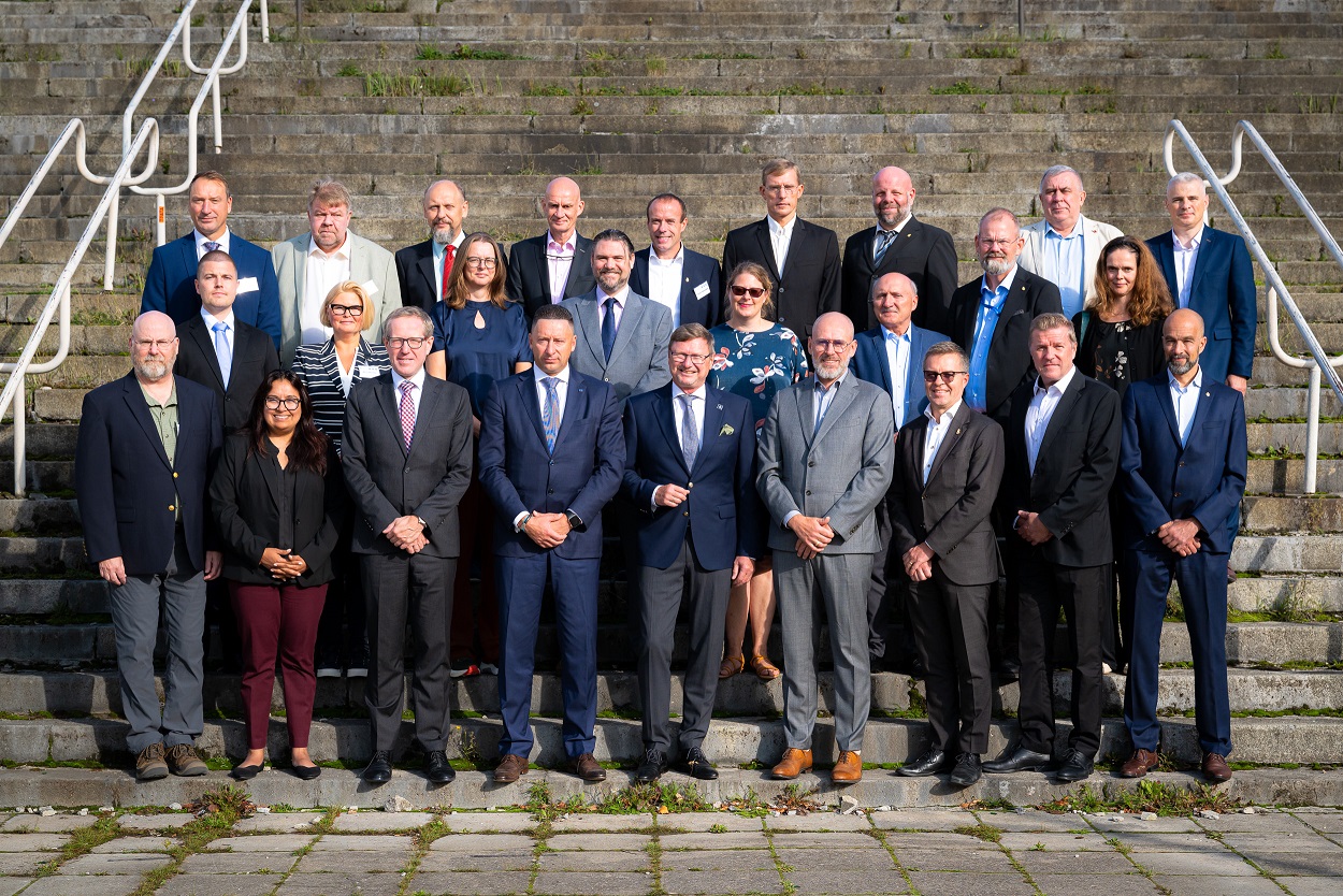
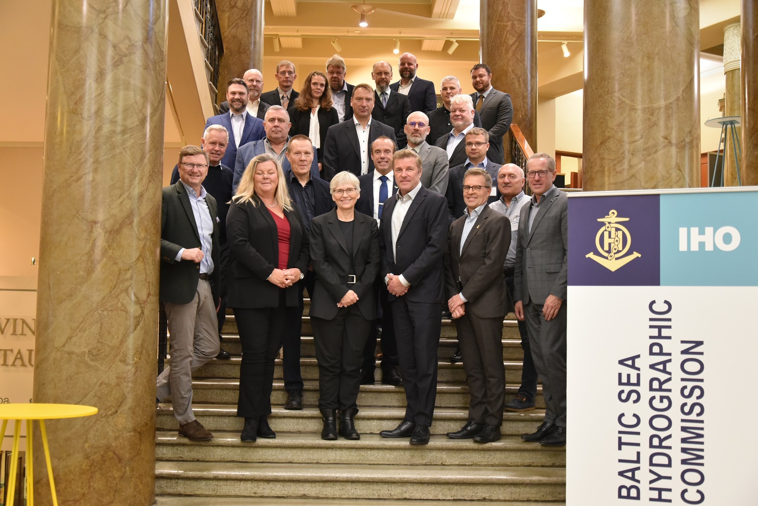
BSHC 30th meeting, 22-24 September 2025, Riga, Latvia
- Invitation/Logistics | Program | Agenda | Documents/Presentation | Minutes | Actions | Participants | Photo | Website
- CDWCWG Report | Presentation | Regional product harmonisation guidelines for S-104 and S-111 (DRAFT)
NKG Summer School “From Struve to the Space”, 25-29 August 2025, Tartu, Estonia
CDWCWG Harmonisation subgroup 2nd meeting, 25 June 2025, VTC
CDWCWG Harmonisation subgroup 1st meeting, 11 June 2025, VTC
BOOS Annual meeting / Scientific workshop, 2-4 June 2025, Sopot, Poland + VTC
- Invitation/Logistics/Program | Agenda | Documents/Presentations | Minutes/Participants (DRAFT) | Actions | Photo | Website
- BSCD2000 Presentation
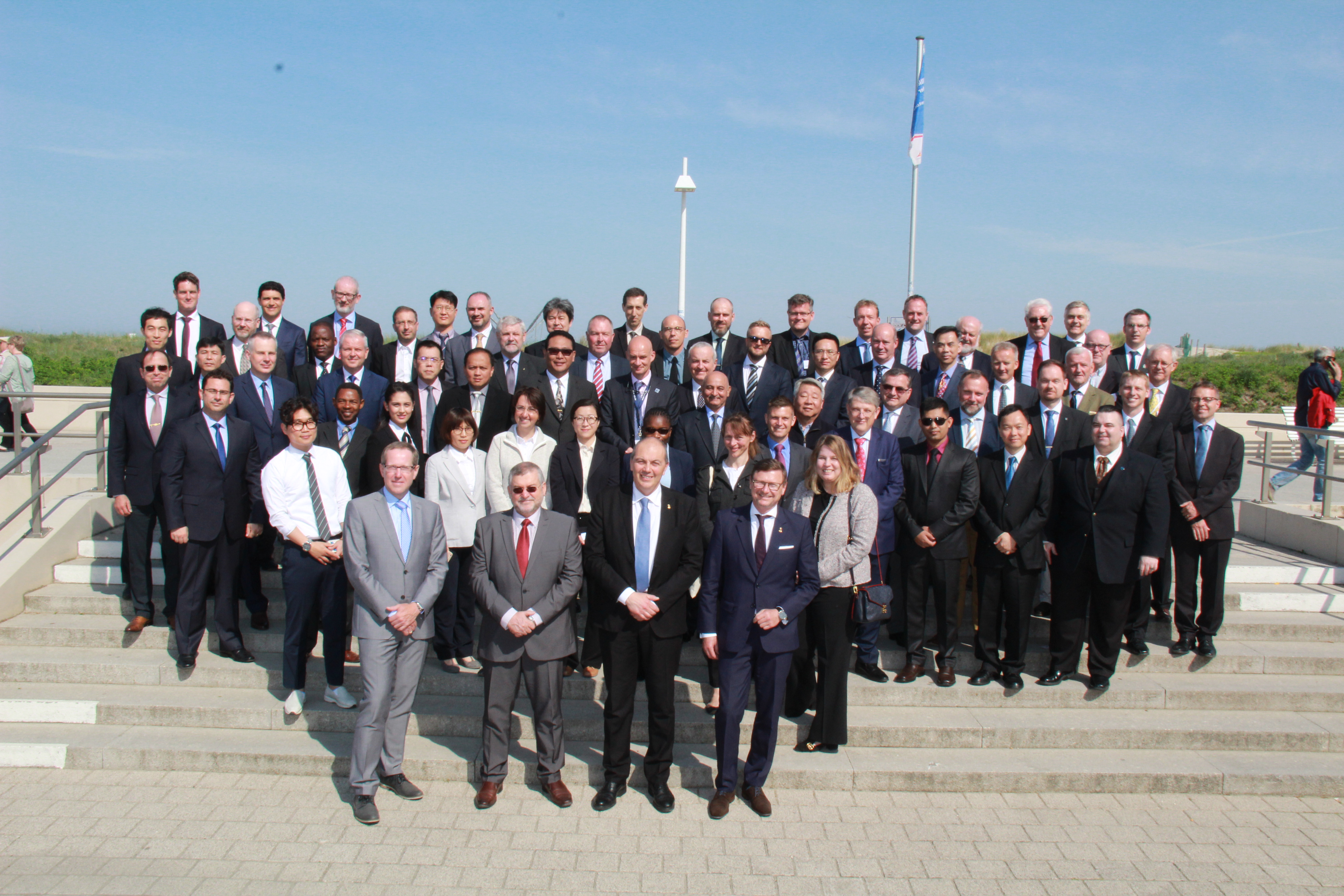
HSSC 17th meeting, 5-7 May 2025, Stavanger, Norway
- Invitation/Logistics | Program/Agenda | Documents/Presentations | Minutes | Actions | Participants | Photo | Website
- TWCWG Report/Presentation
Baltic Sea e-Nav 3rd Partner meeting (Pilot sessions), 9-11 April 2025, Rauma, Finland
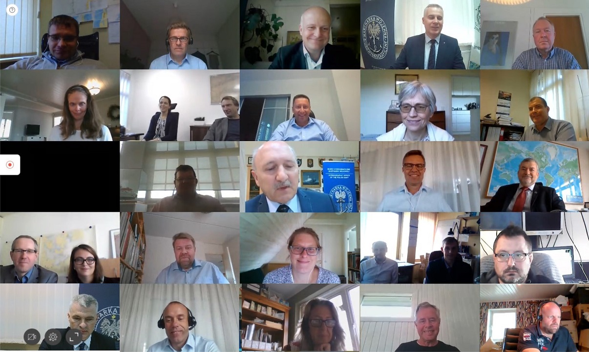
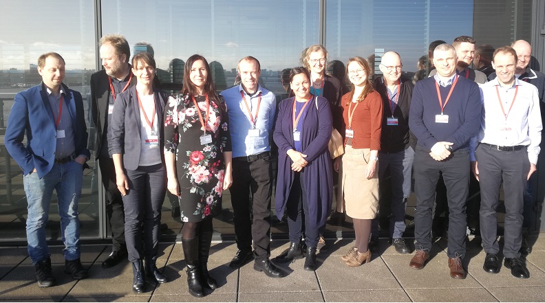
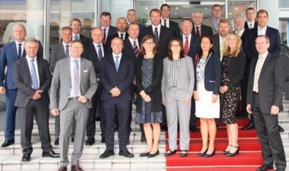
CDWCWG 2nd meeting, 25-26 March 2025, Tallinn, Estonia
- Invitation | Logistics | Program | Agenda | Documents/Presentations | Minutes | Actions | Participants | Photo | Website
GLOSS GEXVIII meeting, 11-14 March 2025, Panama City, Panama + VTC
- Event | Invitation/Logistics | Program | Agenda | Documents/Presentations | Minutes | Actions | Participants | Photo | Website
- TWCWG Presentation | Sweden and CDWCWG Presentation
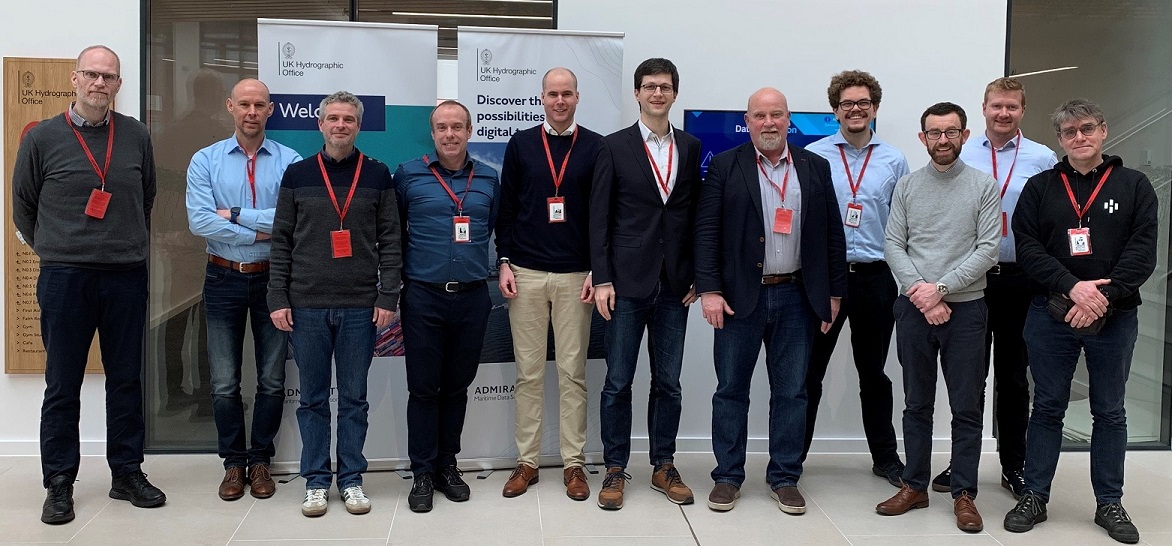
TWG 27th meeting, 4-5 February 2025, Taunton, United Kingdom
Baltic Sea e-Nav 2nd Partner meeting, 3-4 December 2024, Tallinn, Estonia
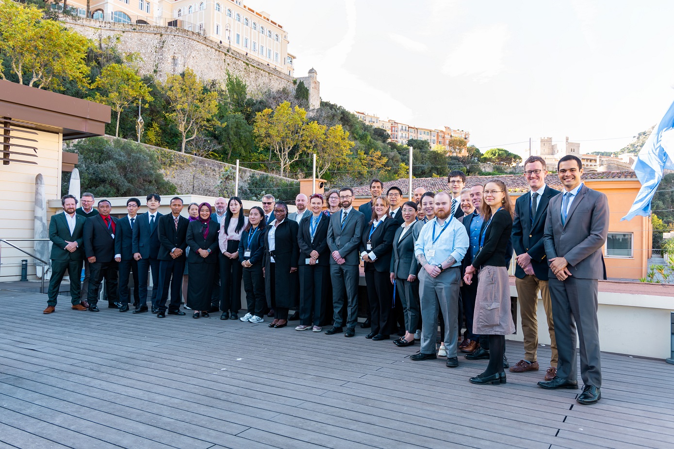
TWCWG 9th meeting, 19-22 November 2024, Monaco
BSHC 29th meeting, 17-19 September 2024, Tallinn, Estonia
- Documents/Presentations | Minutes | Actions | Participants | Photo | Website
- CDWCWG Report | Presentation
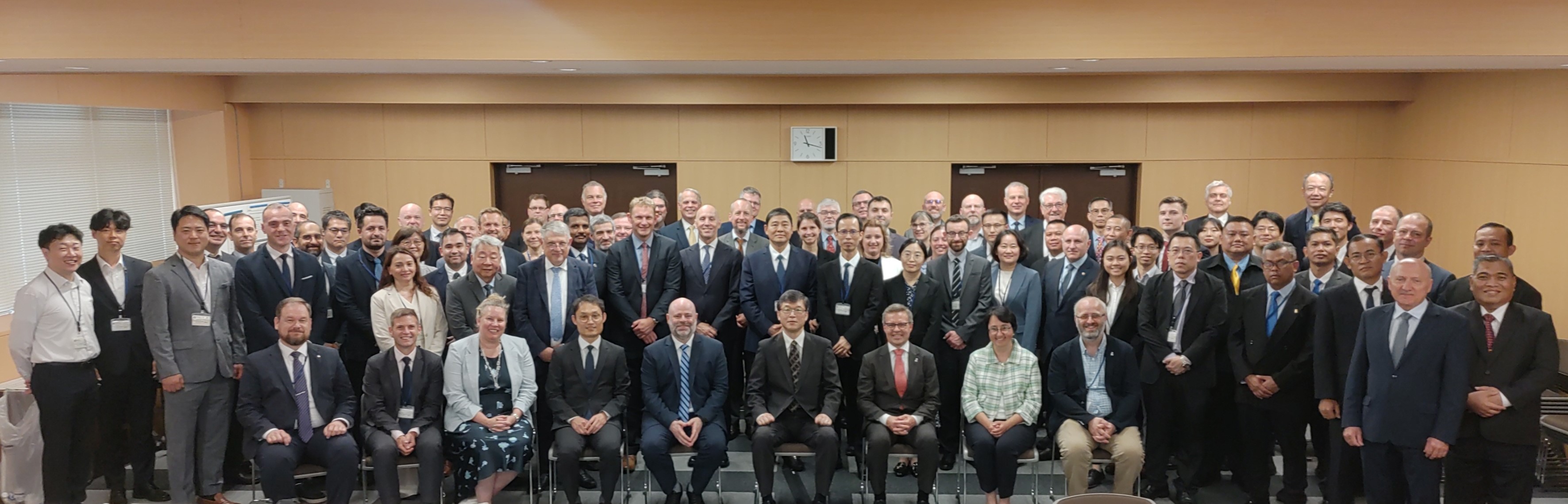
HSSC 16th meeting, 27-31 May 2024, Tokyo, Japan
- Documents/Presentations | Minutes | Actions | Participants | Photo | Website
- TWCWG Report/Presentation
BOOS Annual meeting / Scientific workshop, 6-8 May 2024, Copenhagen, Denmark
- Invitation | Collaboration meeting | Scientific workshop | Annual meeting | Website
- CDWCWG Presentation
Baltic Sea e-Nav 1st Partner meeting, 17-18 April 2024, Helsinki, Finland
- Event | Invitation/Logistics/Program | Agenda | Documents/Presentations | Minutes/Actions | Photo | Website
Kartdagarna, 16-18 April 2024, Göteborg, Sweden
CDWCWG 1st meeting, 26-27 March 2024, Helsinki, Finland
- Invitation | Logistics | Program | Agenda | Documents/Presentations | Minutes | Actions | Participants | Photo | Website
TWCWG 8th meeting, 20-22 February 2024, VTC
- Documents/Presentations | Minutes | Actions | Participants | Photo | Website
- S-104 Water Level Product Specification (presentation)
- S-111 Surface Currents Product Specification (presentation)
TWG 26th meeting, 6-7 February 2024, Göteborg, Sweden
Baltic Sea e-Nav Kick-off meeting, 6-7 November 2023, Stockholm, Sweden
BSHC 28th meeting, 19-21 September 2023, Helsinki, Finland
- Documents/Presentations | Minutes | Actions | Participants | Photo | Website
- CDWG Report | Presentation
HSSC 15th meeting, 5-9 June 2023, Helsinki, Finland
- Documents/Presentations | Minutes | Actions | Participants | Photo | Website
- TWCWG Report/Presentation
EUREF Symposium, 23-26 May 2023, Göteborg, Sweden
BOOS Annual meeting / Scientific workshop, 9-11 May 2023, Helsinki, Finland
- Invitation | Agenda Working Group meetings | Scientific workshop | Annual meeting | Minutes | Website
- CDWCWG Presentation
CDWG 14th meeting, 28-29 March 2023, Göteborg, Sweden
- Logistics | Program | Agenda | Documents/Presentations | Minutes | Actions | Participants | Photo | Website
BSHC-SCG 1st meeting, 15 March 2023, VTC
TWCWG 7th meeting, 28 February – 2 March 2023, VTC
- Documents | Presentations | Minutes | Actions | Participants | Website
TWG 25th meeting, 7 February 2023, VTC
- Documents/Presentations | Minutes | Actions | Participants | Photo | Website
BOOS Annual meeting, 14 December 2022, VTC
GLOSS GEXVII meeting, 7-10 November 2022, Paris, France
- Invitation/Logistics | Program | Agenda | Documents/Presentations | Minutes | Actions | Participants | Photo | Website
CDWG Start-up meeting, 12 October 2022, VTC
TWG 24th meeting, 27 September 2022, VTC
- Documents/Presentations | Minutes | Actions | Participants | Photo | Website
- CDWG Presentation
BSHC 27th meeting, 20-22 September 2022, Stockholm, Sweden
- Documents/Presentations | Minutes | Actions | Participants | Photo | Website
- CDWG Report | Presentation
NKG General Assembly meeting, 5-8 September 2022, Copenhagen, Denmark
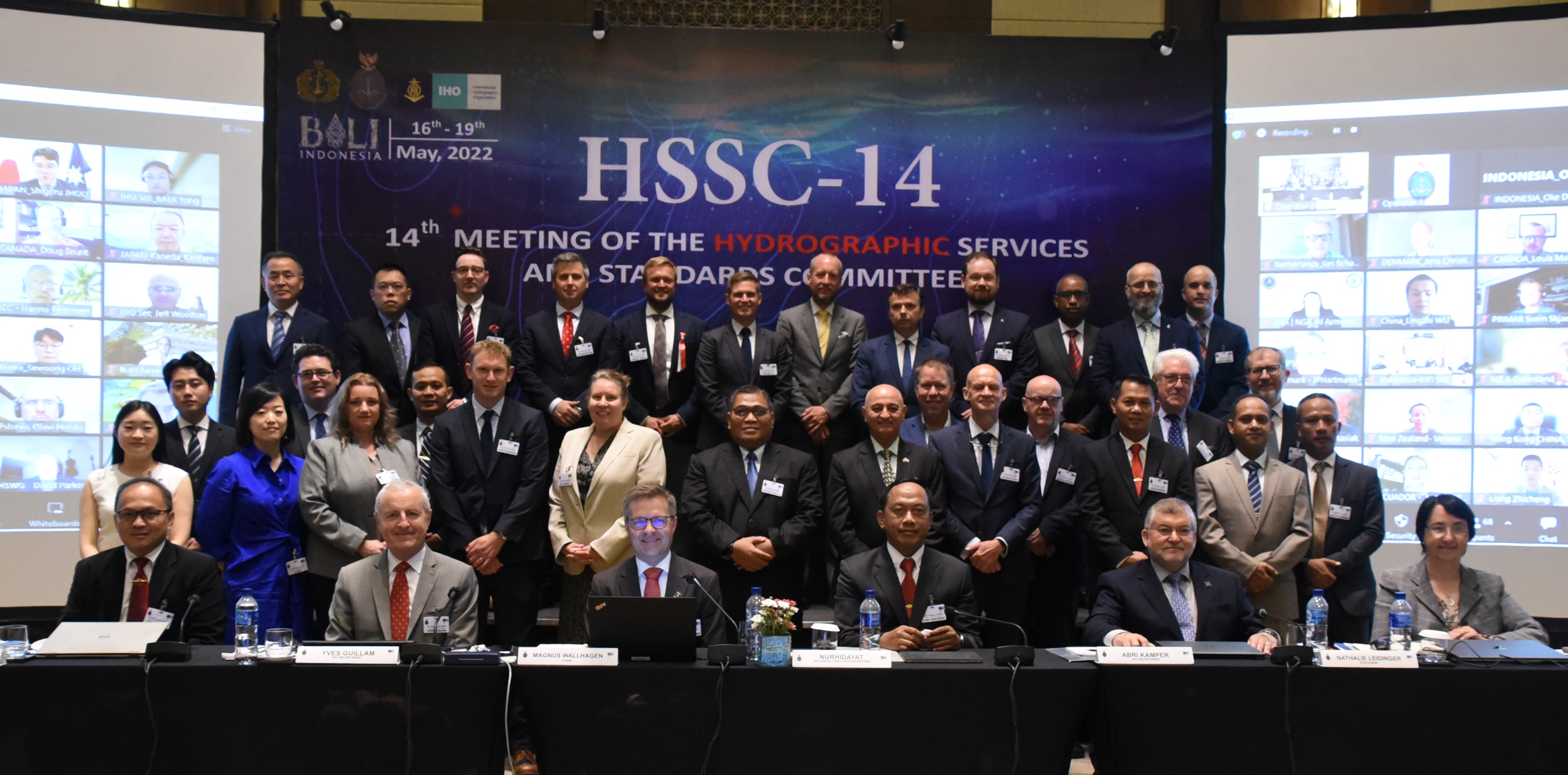
HSSC 14th meeting, 16-19 May 2022, Bali, Indonesia + VTC
- Documents/Presentations | Minutes | Actions | Participants | Photo | Website
- TWCWG Report/Presentation
TWCWG 6th meeting, 5-7 April 2022, VTC
BOOS Annual meeting / Scientific Workshop, 24-26 November 2021, VTC
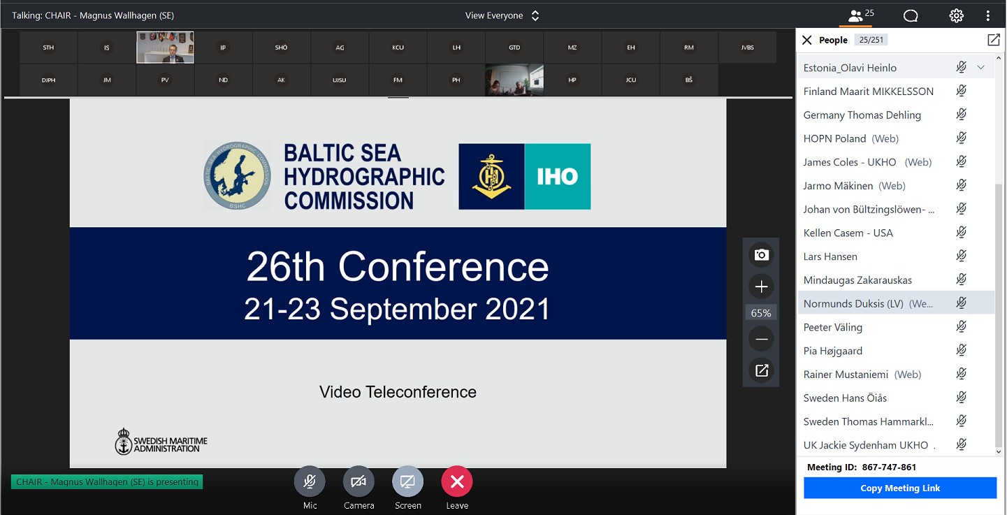
BSHC 26th meeting, 21-23 September 2021, VTC
- Documents/Presentations | Minutes | Actions | Participants | Photo | Website
- CDWG Report | Presentation
CDWG 13th meeting, 7 September 2021, VTC
- Program | Agenda | Documents/Presentations | Minutes | Actions | Participants | Photo | Website
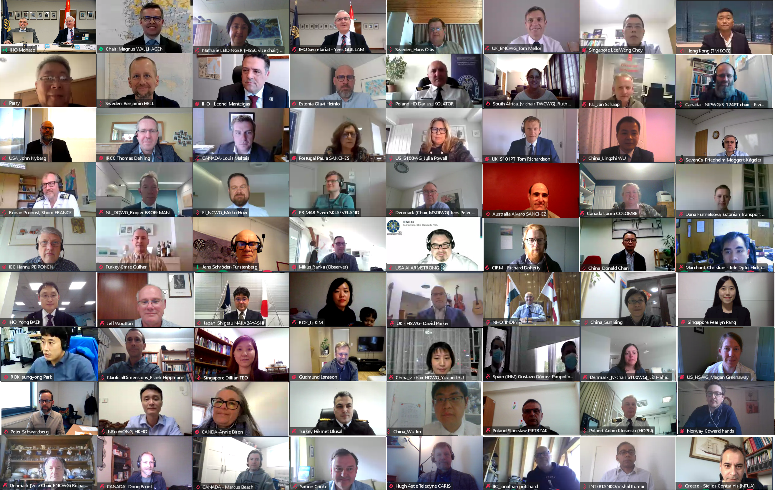
HSSC 13th meeting, 3-7 May 2021, VTC
- Documents/Presentations | Minutes | Actions | Participants | Photo | Website
- TWCWG Report/Presentation
Kartdagarna, 20-21 April 2021, VTC
TWCWG 5th meeting, 16-18 March 2021, VTC
- Documents | Presentations | Minutes | Actions | Participants | Website
BOOS Annual meeting, 4-6 November 2020, VTC
HSSC 12th meeting, 19-22 October 2020, VTC
- Documents/Presentations | Minutes | Actions | Participants | Photo | Website
- TWCWG Report | Presentation | Presentation (short version)
BSHC 25th meeting, 22 September 2020, VTC
- Documents/Presentations | Minutes | Actions | Participants | Photo | Website
- CDWG Report | Presentation
NKG meeting, 10-11 March 2020, Reykjavik, Iceland
CDWG 12th meeting, 3-4 March 2020, Gdynia, Poland
- Logistics | Program | Agenda | Documents/Presentations | Minutes | Actions | Participants | Photo | Website
TWG 23rd meeting, 5-6 February 2020, Reykjavik, Iceland
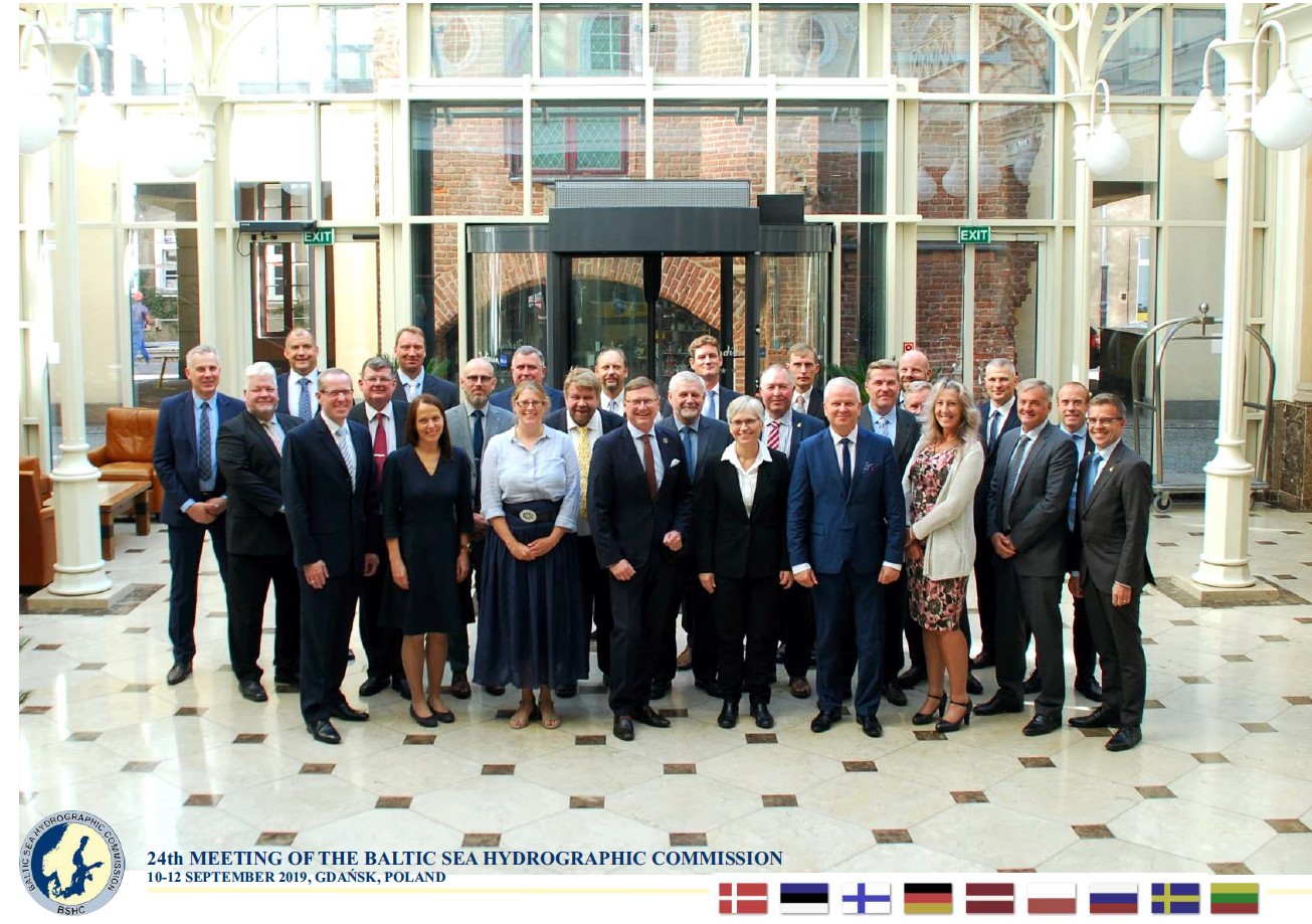
BSHC 24th meeting, 10-12 September 2019, Gdansk, Poland
- Documents/Presentations | Minutes | Actions | Participants | Photo | Website
- CDWG Report | Presentation
BOOS Annual meeting, 12-13 June 2019, Rostock, Germany
HSSC 11th meeting, 6-9 May 2019, Cape Town, South Africa
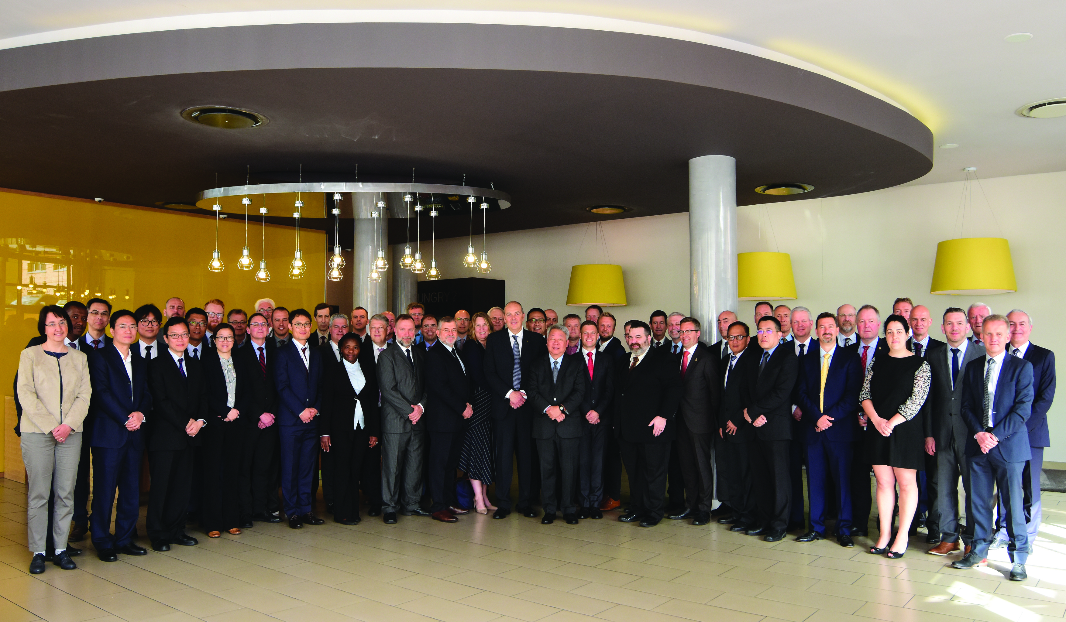
GLOSS GEXVI meeting, 11-13 April 2019, Busan, Korea
- Invitation/Logistics | Program/Agenda
- Documents/Presentations | Minutes | Actions | Participants | Photo | Website
- TWCWG Presentation
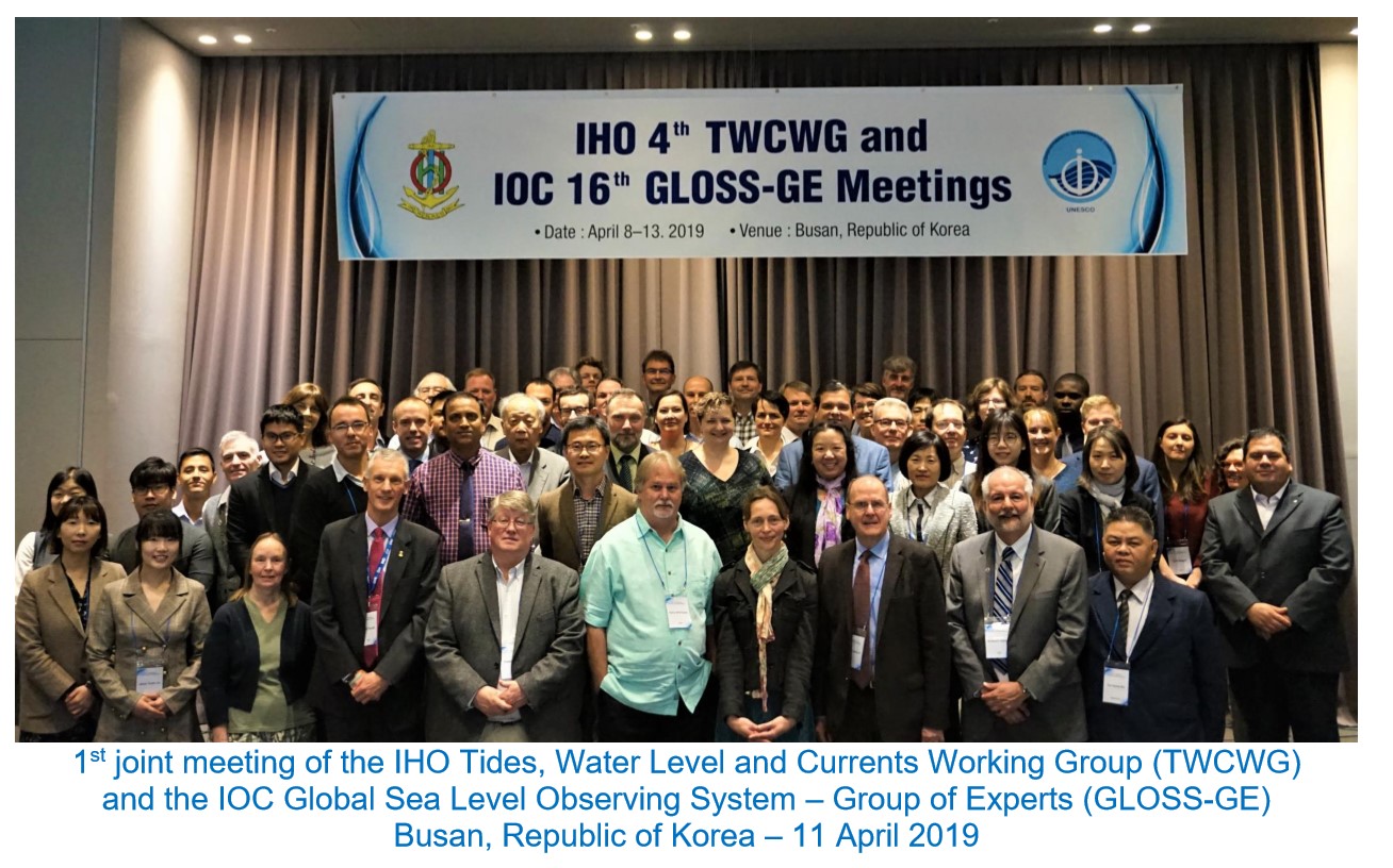
TWCWG 4th meeting, 8-11 April 2019, Busan, Korea
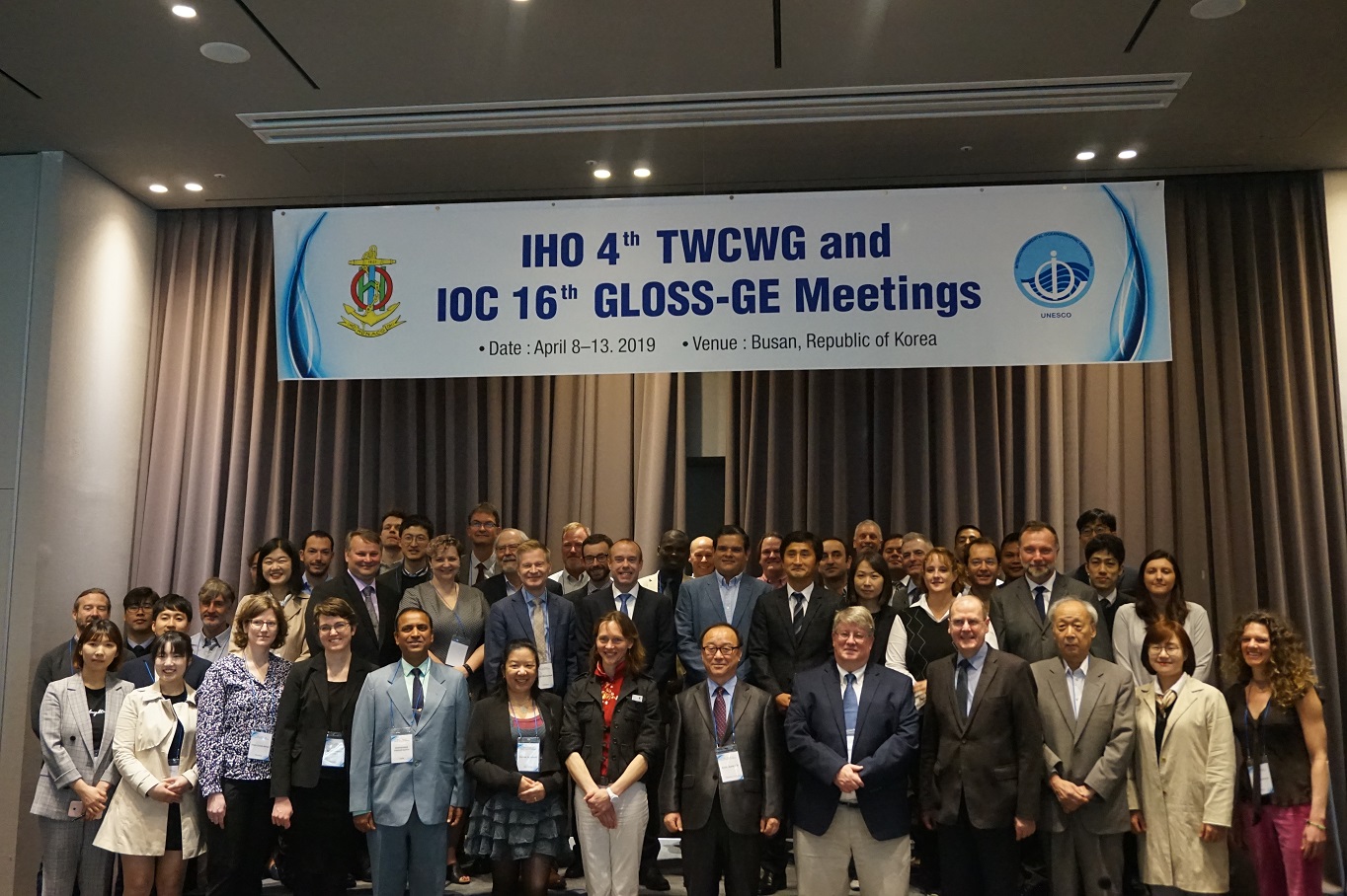
NKG meeting, 11-13 March 2019, Lyngby, Denmark
CDWG 11th meeting, 5-6 February 2019, Ålborg, Denmark
- Logistics | Program | Agenda | Documents/Presentations | Minutes | Actions | Participants | Photo | Website
BSHC 23rd meeting, 27-29 August 2018, Ålborg, Denmark
- Documents/Presentations | Minutes | Actions | Participants | Photo | Website
- CDWG Report | Presentation
BOOS Annual meeting, 22-23 May 2018, Brussels, Belgium
HSSC 10th meeting, 14-17 May 2018, Rostock, Germany
- Documents/Presentations | Minutes | Actions | Participants | Photo | Website
- TWCWG Report | Presentation
Kartdagarna, 20-22 mars 2018, Linköping, Sweden
CDWG 10th meeting, 7-8 February 2018, Arkö, Sweden
- Invitation | Logistics | Program | Agenda | Documents/Presentations | Minutes | Actions | Participants | Photo | Website